

U.S. Army Corps of Engineer’s Lock 19 Bathymetric Sonar Scanning
- October 16, 2017
October 2017 – KeoKuk, IA |
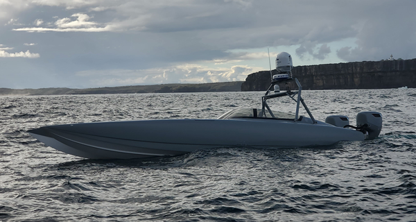
The MARTAC Team recently completed a successful bathymetric scanning for the U.S. Army Corps of Engineers (USACE) lock 19 in Keokuk, IA. The lock with a length of 1,200 feet and 110 feet wide is located on the upper basin of the Mississippi River. Over 15,000+ barges transit through the lock annually. The U.S. Army Corps of Engineers had limited awareness into submerged hazardous spaces both within the lock and neighboring bulkheads. Additionally, gaining insight into sediment levels and buildup was a serious point of interest.
MARTAC employed the T12 MANTAS outfitted with Teledyne, Inc. RESON T20-P side sonar scanning device to conduct the scans. The U.S. Army Corp of Engineer’s provided access to their Launch and Recovery equipment that streamlined our operational tempo. In the end, the MANTAS T12 scanned the requested infrastructure zone within a two-hour timeframe. Post processing of scanned data revealed valuable awareness of lock equipment condition, sediment levels, and detected debris fields previously unknown by the U.S. Corp of Engineers personnel.